3rd Grade Map Skills
SS3G1
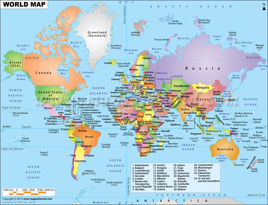
Use cardinal and intermediate directions.
Use a letter/number grid system to determine location.
Compare and contrast natural, political, and cultural features on a map.
Use an inch to inch map scale to determine distance on a map.
Use a key/legend to acquire information on a historical, physical, political, resource, product and economic map.
SS3G1
Locate major topographical features on a physical map of the United States.
a. Locate major rivers of the United States of America: Mississippi, Ohio, Rio Grande, Colorado, Hudson, and St. Lawrence.
b. Locate major mountain ranges of the United States of America: Appalachian, Rocky.
SS3G2
Locate and describe the equator, prime meridian, and lines of latitude and longitude on a globe.

| latitude and longitude.ppt |
Major Rivers and Mountain Ranges in the U.S.
Wonders of the World Unit
The students have read and learned about ancient and modern wonders of the world! Here are some activities and tasks included in the unit.

Student Products
